This weeks Friday Top Tip is about Hill Food & Nutrition – I’m no Nutritionalist but over the years on the hill I’ve found what works for me when I need to refuel. I see many people with sandwiches & crisps, chocolate etc which is good hill food as it’s got carbs & sugar, but I’ve actually found you need more protein than carbs, here’s what I eat & why :
Breakfast – porridge in winter, Greek yogurt, berries & nuts or muesli in summer and loads of coffee/ tea. I drink at least 1/2 litre water so I’m hydrated and need less water on the hill.
Through the day
1 litre water – to keep super hydrated
Flask coffee / hot chocolate/ green tea – a warm drink always raises the spirits & is important in emergencies
Oat cakes – can be mixed with all sorts, I usually have boiled eggs, cheese, tinned fish or marmite and Nutella or dark chocolate for desert
Apple/ banana / berries
Mixed nuts / trail mix & Trail / muesli/ protein bar – in my pockets so I can eat regularly on the move
Sweets – haribos/ jelly babies
Key thing is there’s some slow carb release (oats) in the morning & day, then healthy fats & protein (cheese, eggs, nuts) to prolong the blood sugar release along with some natural sugar (fruit) for energy, salt (marmite) to aid hydration, a mental boost (coffee, warm drink) and a high blood sugar fix (sweets, chocolate) for those high energy tough ascents and epics / emergencies.
I’m sure there loads of other combinations that work but after years of experimenting this is what works for me !
This weeks Friday Top Tip is a great resource from @ordnancesurvey_maps website , it’s their education section & is full of useful learning tools for navigation & mapping. Useful for beginners & teachers of navigation & has useful resources like symbol legends, flash cards, maps etc.
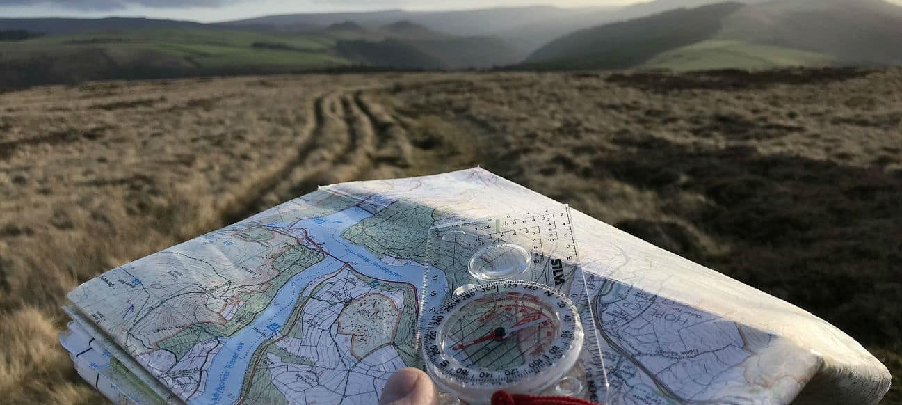
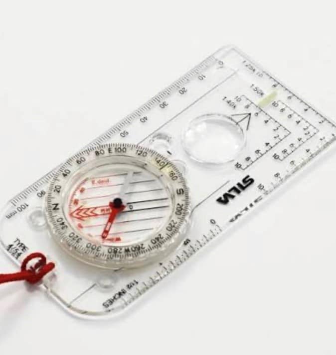
Friday Top Tip – Compasses , we’ve seen all manner of compasses turn up on our Navigation courses, here’s just a few features we think are essential for your compass (beyond the obvious) & there’s surprisingly a lot to consider
A long base – too short & taking a long baring can be difficult
A roamer scale – this helps you measure distances easily on different scale maps
Silicone feet on the base – stops your compass sliding around on the map.
Magnifying Glass – for those tricky to read map features & symbols
Directional / alignment lines in the base plate – using the side of the base plate for bearings can cause errors, using the long thin black alignment line is more accurate There’s tonnes more features to consider & we’ll be covering these in future tip posts.
For more navigation info head to – https://www.peak-outdoor.co.uk/activities/navigation-training/
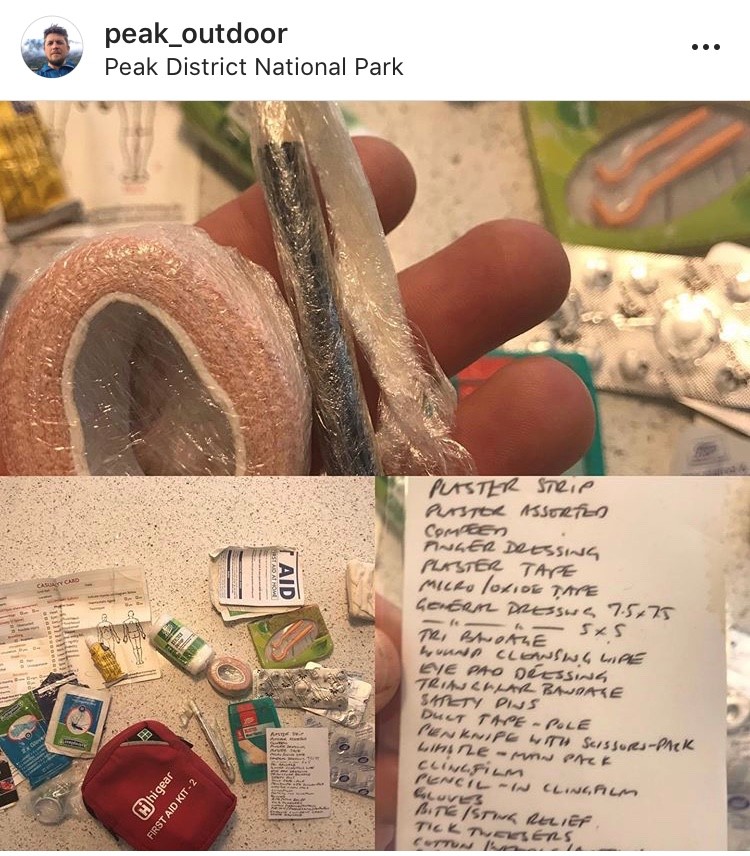
Friday Top Tip – 1st Aid- we all should carry one, heres some pictures of what I carry, it’s my own kit fashioned out of a standard off the shelf outdoor 1st aid kit with some key additions which are :
Pencil with cling film wrapped round it, the pencil for completing the casualty form the cling film for burns, both are adaptable for other uses.
Zinc Oxide tape – super sticky to back up those ill fitting plasters/ bandages – again has been utilised for other repairs / outdoor needs
Gaffer tape – endless uses
Laminated 1st aid list – so easy to use stuff & forget what you need so I periodically check my kit against this list.
Tick twister – really important to remove a tick properly 😱
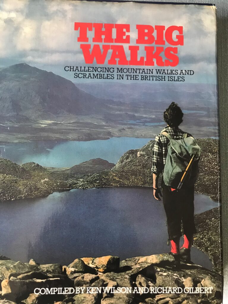
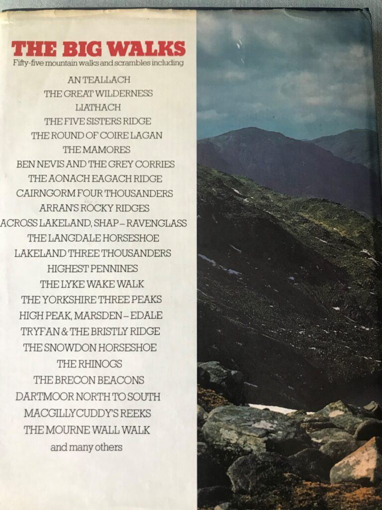
Friday Top Tip – this is more one for inspiration, as the hills slowly start to open its time to plan those adventures & Ive found this classic book “The Big Walks” has given me plenty of adventure & inspiration for my big mountaineering & hiking days
The book is one of our favourites & is full of useful info to plan your next journey in the high mountains of the UK.
Be warned though none of the routes are easy but as the saying goes “easy is not worth doing” 😊
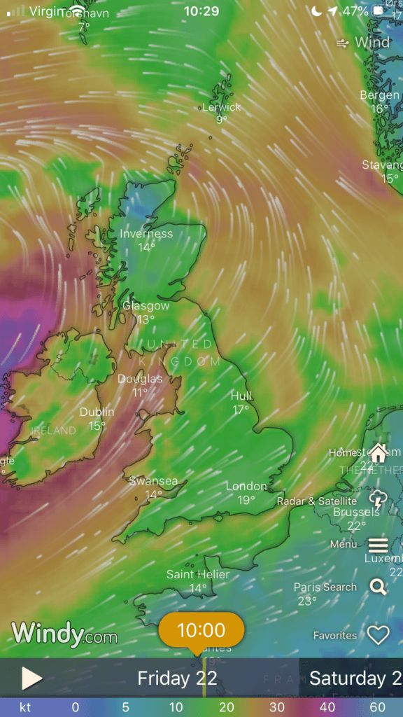
Friday Top Tips – WIND !!! There’s going to be a lot of it over the next few days & its the outdoor adventurers biggest foe !! Wind more than anything can effect your day so knowing where it’s coming from & the speed is essential.
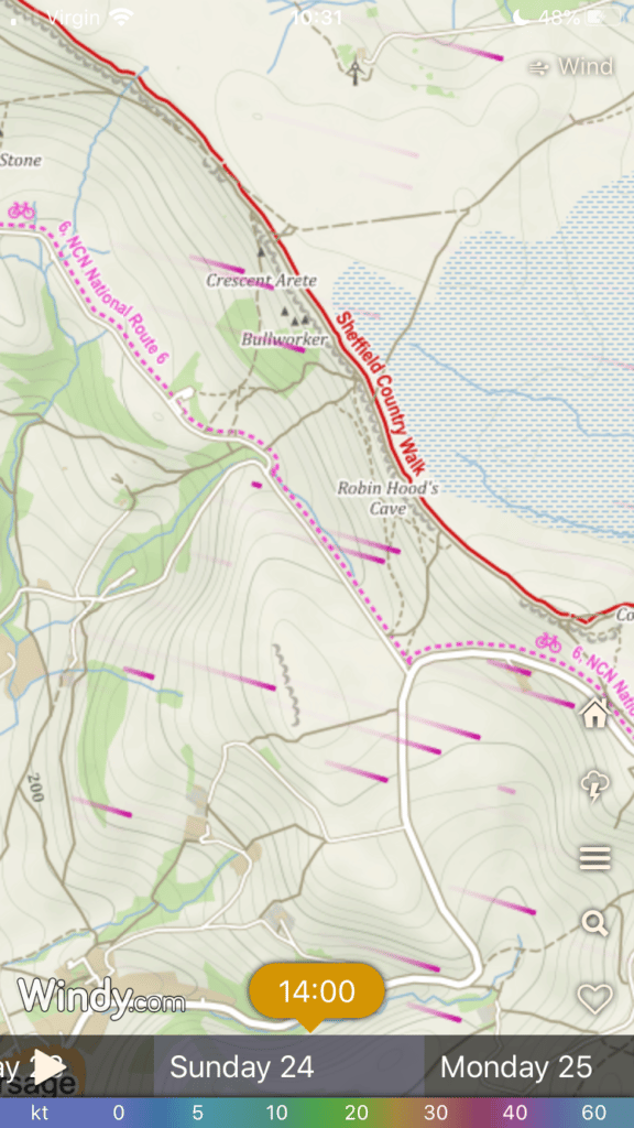
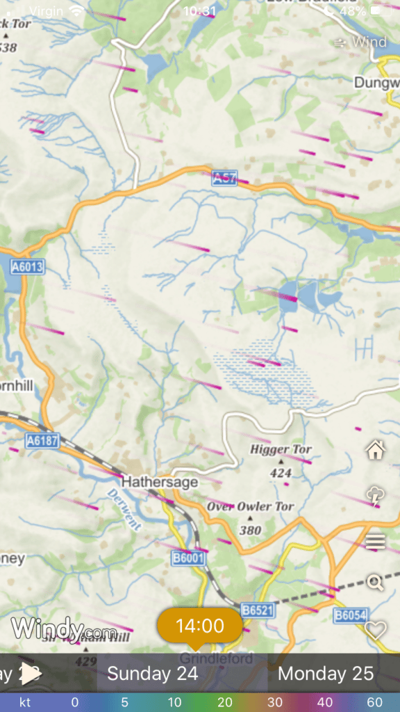
But it’s never easy transferring a forecast to a map & your route, especially when it changes direction & speed & this is key when planning your walk / climb etc.
This fab App “Windy” or website www.Windy.com is brilliant for looking how the wind effects your journey on the map, you can even see when it changes direction & speed by scrolling through timeline.
Have a look through the pictures for examples & visit their site / App Store
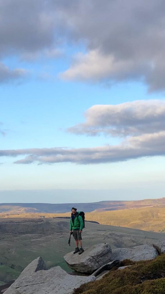
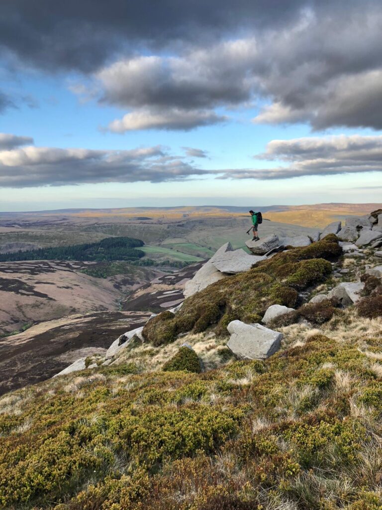
This is an account of my walk round the whole edge of The Kinder Plateau in The Dark Peak District, this is known as The Kinder Round or Kinder Plateau Round.
I’ve spent many hours probably days walking and scrambling on Kinder Scout, mainly ascending from the southern side from either Edale up Grindsbrook Clough or from Upper Booth and up Crowden Clough which has some excellent grade 2/3 scrambling high up. A lot of my time has been spent on the southern edges which faces The Vale of Edale and also climbing The Kinder Downfall in winter. But I had never walked the full length of the northern edges that faces the A57 and The Snake Pass and had never walked the whole way round the plateau’s edges in one go, so with COVID 19 restrictions being slightly eased I decided to walk the complete Kinder Round last weekend with my climbing buddy Gazza.
The Kinder Northern Edges
Looking towards Derwent & Howden Edge
Crowden Clough Scramble
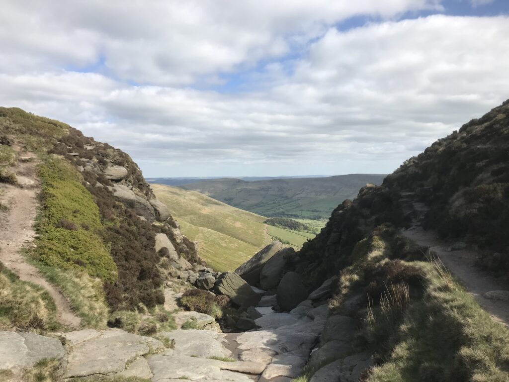
It was a warm day in the valley as we set off from Barber Booth car park towards Crowden Clough which was our chosen way up to the Kinder Plateau. Crowden Clough is an excellent way up to the plateau as it starts in a fairly quite area of The Vale of Edale and it’s a lovely walk through farmland and meadows following the burbling stream / clough, then it enters the rolling valley of Crowden Clough followed by some technical ground as you have to rock hop up the higher areas of the clough which finishes with a high rocky wall of about 6 metres where you have to use your hands and scramble up this wall. A word of warning if you are not used to scrambling or climbing then there is no other way round to go higher so if you don’t fancy the climb then retreat back down to where there is a steep path that turns left just before rocky areas and traverses up under a rocky outcrop called Crowden Towers which will be high up on your left as you walk into the valley.
Once we topped out of Crowden Clough the great vista of The Great Ridge which includes MamTor, Back Tor, Loose Hill and Win Hill opens up, also you start to feel any wind that’s around as with Kinder Scout being flat on the top you have no protection from the prevailing weather.
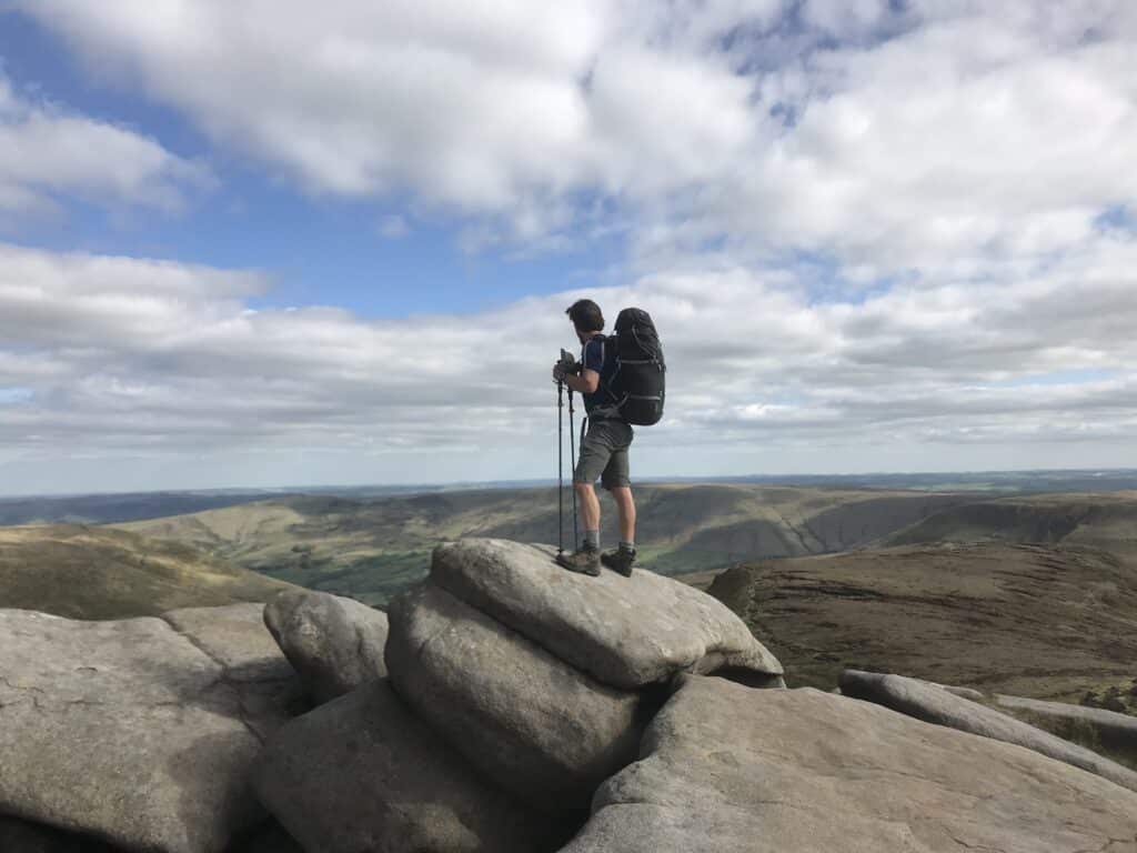
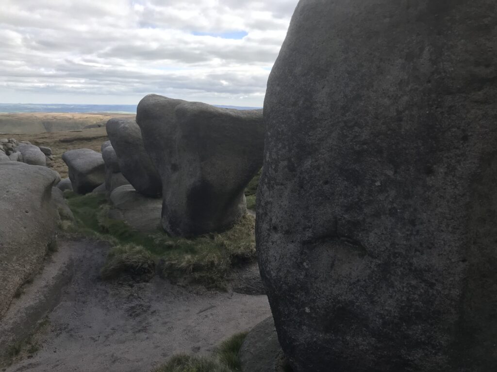
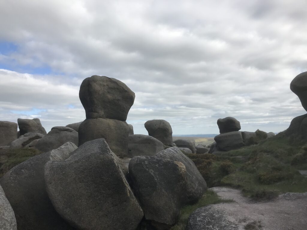
With the wind chill it was cold so we made our way past the fabulous Wool Packs rock formations which really trigger the imagination as to how these rocks were formed, were they artwork by long distant relatives, sculptures of alien gods or just the wind rattling through the gritstone walls to form beautiful boulders ? my romantic mind wants to believe the former but knowing full well the rocks were formed by a millennia of weather erosion.
From here you head almost directly west towards the huge catching feature that is the rocks of Kinder Low and where you join The Pennine Way that comes up from Edale and Jacobs Ladder, but not before passing Noes stool which is a great rock feature to clamber on top of and survey the western wall of The Vale of Edale where the Sheffield to Manchester trains run into the hill beneath Brown Knoll. One of my main reasons to clamber onto the seat of Noe’s Stool is that fact that my Famous TV Person crush and walking man’s crumpet Julia Bradbury once finished one of her Britain’s Best Walks up here and sat on this very rock!!
Top of Crowden Clough
Crowden Tower
After dreams of Julia we headed in the biting north westerly wind towards the Trig Point on Kinder Low which at 633 metres is only 3 metres lower than the summit of Kinder Scout which is around 600 / 700 metres to the North East of this point and is not an obvious summit so make sure you have your navigation head on if you want to visit the true summit as Kinder Low is a good point to take a compass baring from in order to find the summit.
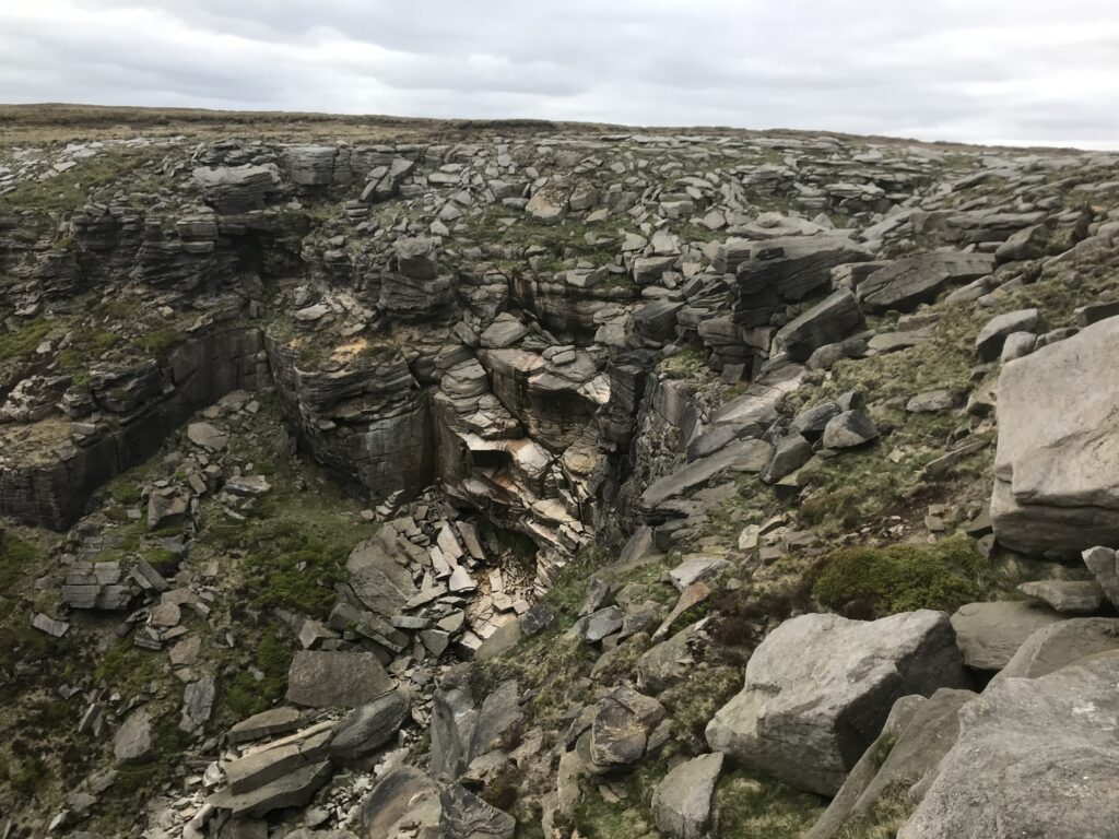
However, the summit of Kinder wasn’t in our plans as we were sticking religiously to the Kinder Edges Round so carried on in the head wind to Kinder Downfall which is always a delight to look at. Now we carried on the path with views over towards Manchester and what looks like the distant Welsh Hills and possibly reflections of The Irish Sea at Birkenhead or Ellesmere Port.
The Wool Packs
or Alien Gods ?
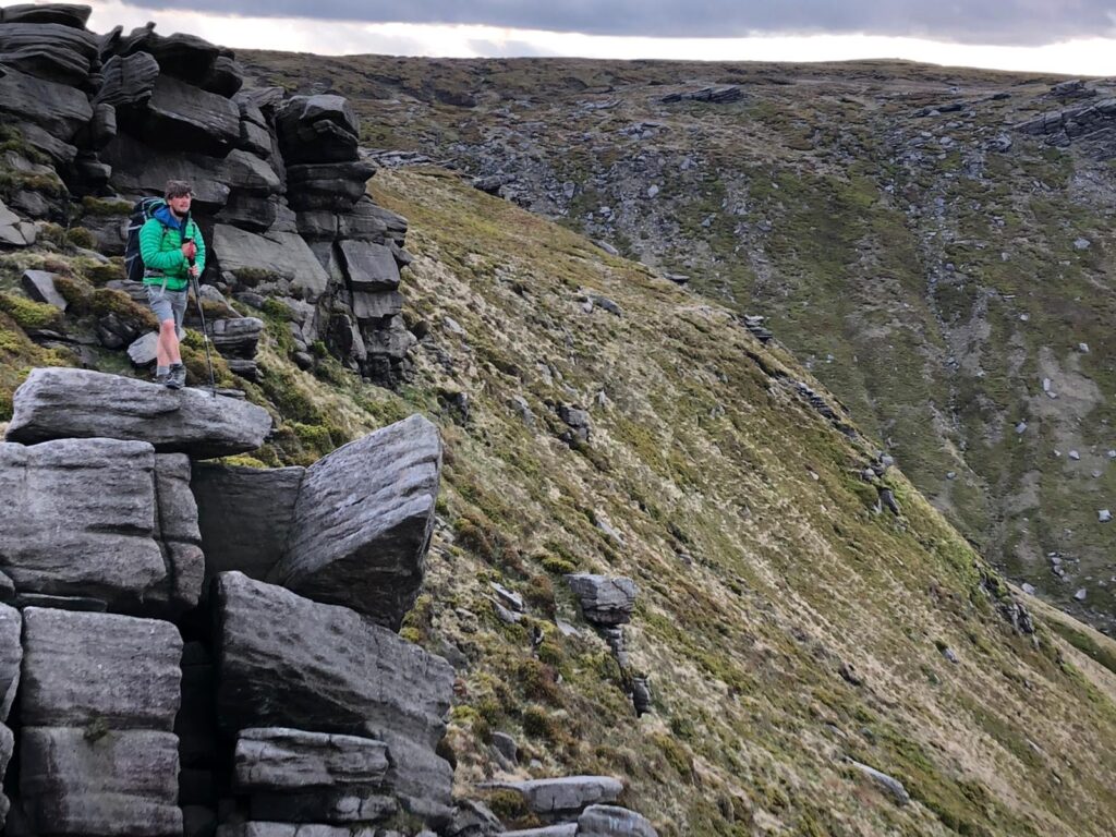
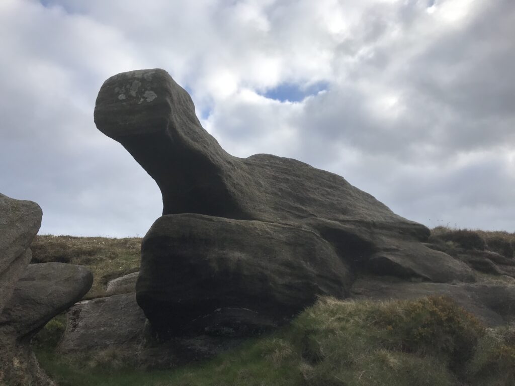
We headed towards the very furthest western point of the plateau which actually has no name but is marked by a rocky outcrop and also overlooks Mill Hill and then the path drops down to meet a cross roads from Hayfield up to The Pennine Way, but you don’t drop down here !! it is now a sharp easterly right hand turn to traverse across the Northern Edges which for me was the highlight of the walk, especially the rock formation that looked like a giant turtle.
The Norther Edges are probably the least most visited part of Kinder Scout, and although it runs parallel to the A57 it feels more remote than anywhere else on the hill. We didn’t see a soul on the northern side until Crookstone Knoll which is basically the full western to eastern traverse of the plateau and around 11km in total! but this wasn’t before passing the spectacular Fairbrook Naze and Blackden Brook where I recalled my Mountain Leader Training and assessment sessions.
From here the scenery changes from desolate long flat high moorland of the North and West to the lush green valleys and sharper peaks of The Hope Valley on the south side of Kinder, almost like 2 separate mountain ranges. This is the most popular areas for walkers, fell runners and outdoor adventurers, not only because of its close proximity to Sheffield and The Midlands, but also because of the variety of its cloughs, edges and even some ridges!!
Kinder Northern Edges
Kinder Downfall
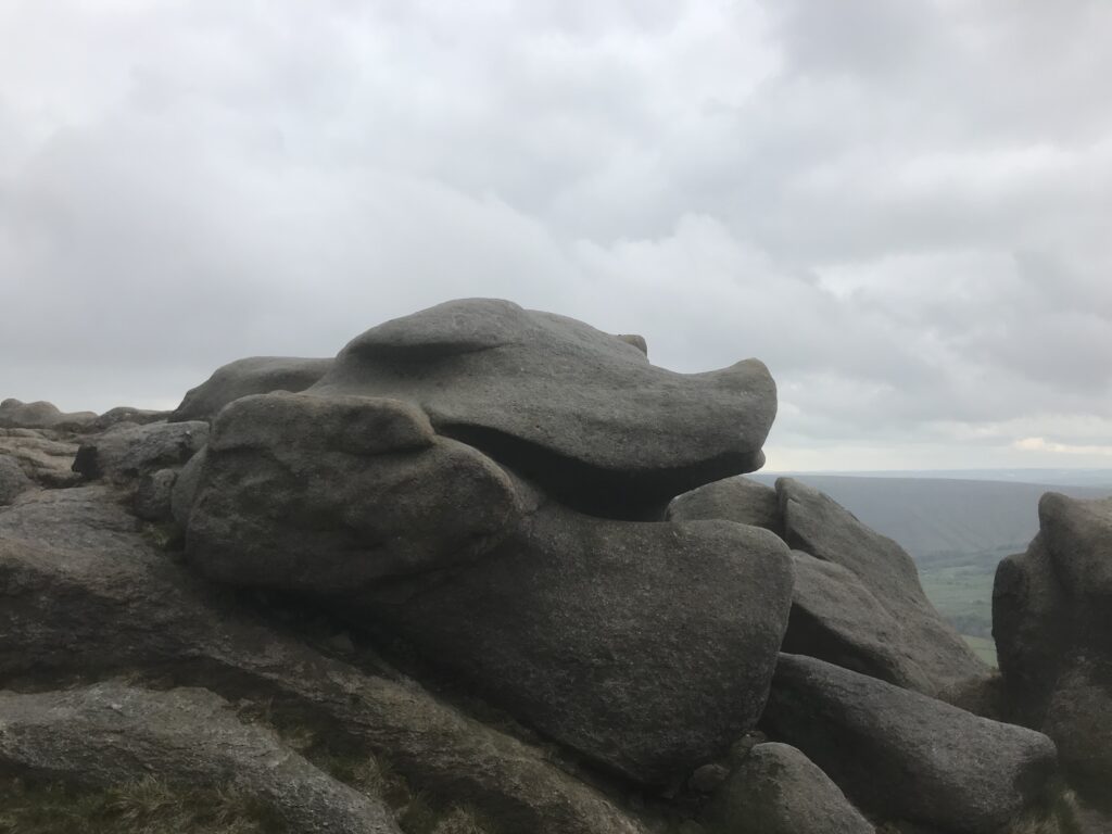
Now we were in for a treat with the rock formations of Ringing Roger, Nether Tor, Upper Tor and the scrambley cloughs of Grindsbrook and Crowden Clough, all with a constant linear back drop of The Great Ridge at the other side of the valley. Here you can escape down into Edale for a meal or pint in normal times but during these times nothing is open due to COVID 19 and I didn’t want to visit these Peak District honeypots and overwhelm them so we continued on the high edge towards Crowden Clough our starting point passing yet more rock formations with a Giant Hogs head a higlight of many interesting Gritstone formations.
As expected, the southern edge had more people on it and everyone except a group of teenages were respecting social distancing rules. We descended Crowden Clough to complete the round which all in all is around 32 Km from Barber Booth car park which probably makes the Kinder Plateau round 26Km, but you have to get up there which is a minimum 2/3 km from where ever you start so expect a 30Km plus walk.
Gritstone Giant Turtle
Gritstone Hogs Head
So that’s that, 32 Km of the flattest lowest mountain you are ever probably going to traverse and although that sound bite doesn’t quite sound exciting, the exploration and walk round this monolith of Gritstone & peat is definitely up there as one of the best walks in the Peak District.
The Kinder Plateau is for not for beginners and I would recommend only walkers with a good level of fitness and excellent navigation skills attempt the Kinder Round, it may seem straight forward in good visibility but like any mountain range this can change very quickly and Navigation on Kinder Scout in bad conditions, poor light or mist and fog can be some of the most challenging in the country due to its featureless nature.
If you need any information on this walk feel free to Contact Us
If you would like myself and Peak-Outdoor to guide you on this challenge and take the burden off you, then Contact Usto book your place
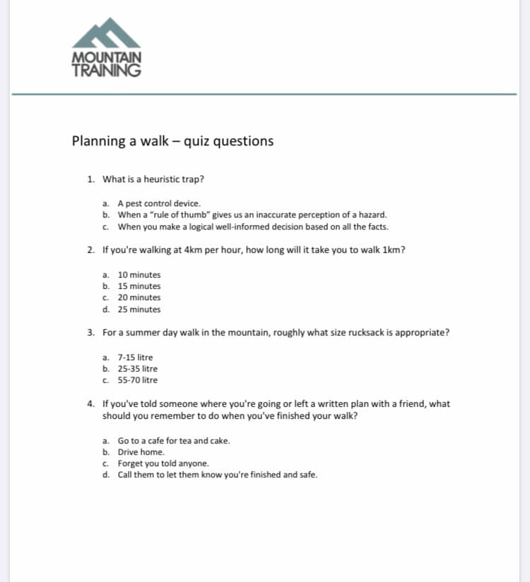
15 / 05/20 – Friday Top Tip – check out this great E-learning module from @mtntraining, it’s a great tool for planning a walk, you’ll have to register an account with The Mountain Training Association to take the assessment but it’s well worth it !! Also if you become a member you can access other E-Learning modules for weather & geology and also have access to a host of outdoor training & skills courses. Just visit their website or click on @mtntrainingto find out more.
We get asked a lot by people booking our navigation courses “how can I best prepare”, so to help people with their basic navigation please read on.
My first tip is to read a book on navigation, some of our recommendations are Hillwalking– by Steve Long – MTA, and – Navigation by Pete Hawkins – Cicerone, the Pete Hawkins one is more in depth but the Steve Long book also covers all the navigation training you should need but also covers all the hill skills you’ll ever need for hillwalking, so it’s what best suits you and your budget.
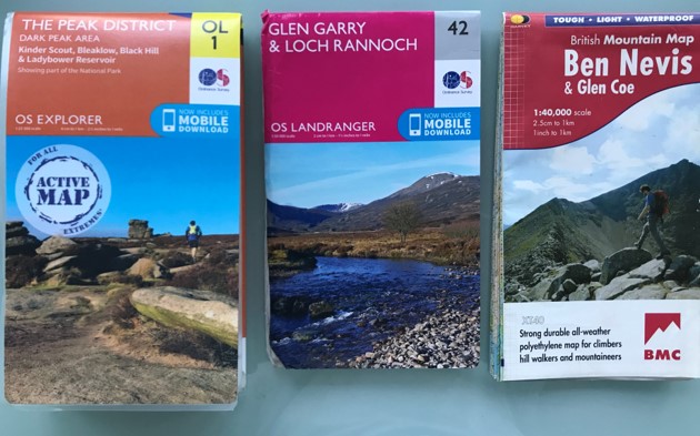
My 2nd tip is to buy a 1;25.000 scale map of your local area and study it in microscopic detail. The thing I remember from my first navigation training and what still surprises me is the amount of detail there is on a map, especially the Ordnance Survey 1;25,000 Explorer Maps. Most people think navigation is all about compasses and pacing but these skills are rarely used for most navigators. The use of a map and recognising how the ground around you relates to the map is a key skill to learn early on, plus it’s amazing to realise what’s around your local area from the map that you never knew existed.
In order to help you understand where you are when walking round (remember to keep your eyes open when near roads etc) it may be worth downloading the “OS Locate App” as well, this is free and available on IOS and Android and will pin point your location.
From the map you can also read the “Customer Information” or what I would call the “Symbols Key”. Learning the symbols and what they mean can go a long way to understanding your surroundings. Also, the Harveys Mapshave a lot of other information such as local services, local geology, 1st aid guidance, navigation guidance, crag & countryside code, emergency procedures and is good reading for the outdoors person.
A long distance walk across the Dales and Valleys of The White Peak District.
This blog is about my wonderful long distance walk taking in six of the most beautiful dales in The White Peak District.
I fancied a long distance walk and needed to get some training in for our planned long distance walks in Scotland in September and October and what better place than from my doorstep !
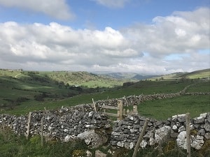
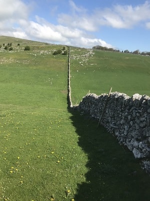
The Six Dales Challengeis a fairly well know hike across six stunning dales within the White Peak District, taking in Bradford Dale, Gratton Dale, Long Dale, Biggin Dale, Wolfscote Dale and Lathkill Dale. You can start pretty much anywhere as the walk is a circular loop of 26 miles so as long as you keep going you will return to your starting point. Fortunately for me, my starting point was my house which is only 20 minutes from Lathkill Dale which unsurprisingly is a regular walk for me and my chocolate Labrador Stan The Man.
So with 26 miles ahead an early start was required and although there are no hills or mountains to climb i still needed to be self sufficient with water and food supplies and return within the day. Starting out from my house was a real pleasure and i decided to take the clockwise direction starting at Youlgrave and the first Dale Bradford Dale. Just like Lathkil Dale, Bradford Dale is very picturesque but also has remnants of a industrial past which can be seen in the weirs and water channels for various man made activities such as Lime Kilns and lead mining.
At the top of Bradford Dale are some interesting stone carvings of past and present. Then its onto Gratton Dale which is near the lovely village of Elton which has the little known claim to fame of a visit by Everest legends Edmund Hillary & Tenzing Norgay !, but no stopping here as time was of the essence. Gratton Dale is probably the least inspiring of all the Dales visited so its nice to enter the open valley of Long Dale at the end of Gratton which has a more airy and agricultural feel to it.
Next its a crossing of a few pastures and fields and the A515 Ashbourne to Buxton Road to then enter the village of Biggin. Biggin is another quaint Peak District village and guards the entrance to Biggin Dale which is where the heavy weight Dales begin. This is a deep and wide Dale with no water running through it and i was now out of water so relied on the River Dove for a resupply. Within Biggin Dale there are some caves and other areas to explore but pressing on was key if i was to return within the same day.
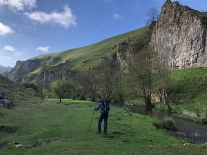
As i descended down into Wolfscote Dale the scenery became more spectacular, this is where both Biggin & Wolfscoet Dales meet at a natural intersection. The River Dove was bubbling away next to carpets of green grass growing Purple Orchids surrounded by high limestone crags and towers.
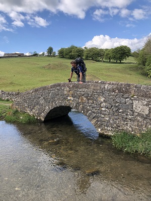
The path up Wolfscote is very flat and far better underfoot than the previous Dales visited so this man made course way was a welcome treat. At the end of the Dale is a wonderful bridge with a glorious cave overlooking the tranquil setting, this area also has climbing crags and a deep cave which is the for the experienced caver only but i couldn’t resist a look in the first few metres and saw plenty of formations within this other world.
The walk into Hartington another gorgeous village was only a short distance and then it was up onto various fields and pastures with views over towards The Roaches, Chrome Hill and Parkhouse Hill. Now over towards The High Peak Trial and time for a brew on my ever reliable AlpKit BrewKit stove with freshly ground coffee :). I could now sense the finish line and home of Bakewell from the high point of the A515 as i walked down into Monyash which is my neighboring village and the gateway to the last and most beautiful Dale Lathkill Dale.
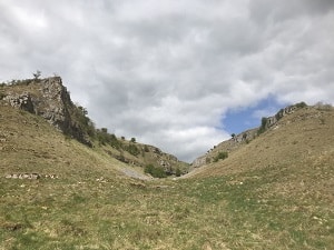
The jaws of Lathkill Dale are wide then immediately narrow to a short passage way then open up again into wide limestone mini canyons where you can see all around the formation of the Dale from high up where the river once flowed millions of years ago. The Limestone of The White Peak District was formed from sea creatures remains in shallow waters of warm tropical seas when this area was sat around the equator around 300 million years ago during the carboniferous period and its very easy to imagine this as you spot the various sea creature fossils within the Limestone crags and walls.
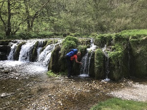
Lathkill Dale is my favorite because its my local area and i am obviously biased but also because it has all the qualities of the other 5 dales, it has crystal clear pools, water falls, an amazing abundance of wildlife, flora and fauna as well as high limestone crags and deep valleys, its no wonder this Dale is a nature reserve and has been written about by poets and naturist over the centuries.
So the final leg was the one i visit the most along the river bank of countless weirs and crystal clear waters of the River Lathkill which strangely enough featured on Countryfile the very next day. here you can see the trout gliding effortlessly within the clear pools and a swans guarding their nest, what a fitting end to a fabulous day out. A long walk but well worth it and lots to see to take your mind off your tired legs.
If you want to experience this fabulous walk with me and Peak-Outdoor, just visit –Peak District Walks for the more leisurely 2 day walk or – Walking Challenges for the single day challenge walk.
If you need any more info on this walk, please get in touch at – Contact Us